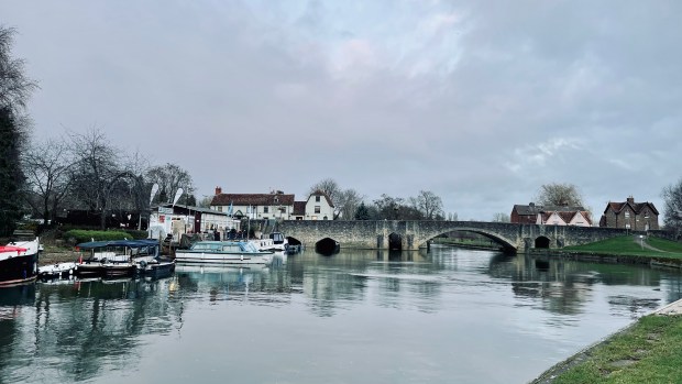
I started the walk around 08:00 from the Bridge in Cricklade, where I last stopped.
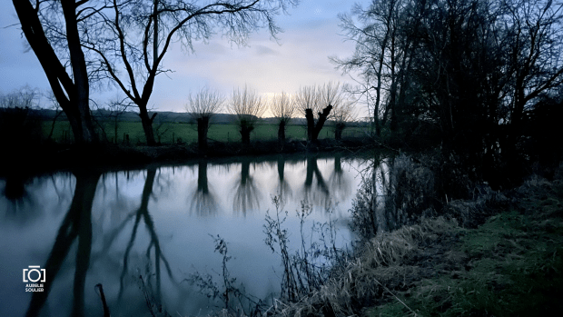
This last leg of the Thames Path has been much delayed so my rushed decision to get on the path today was definitely a very good one. A what a beautiful day for it!


I decided to return to using the DSLR camera for this last section, rather than using my phone for camera.
Shortly after I started walking, I managed to get lost following the path in Cricklade but soon re-joined it.


I met many people on the way and had some really lovely chats. The first couple I met was walking their dog, between Cricklade and Latton.
From early on it was a warm day and I took my zipped long sleeve top off and was in my t-shirt for the rest of the day.


As I left Cricklade, you could hear the murmur of the A419 cars, the backdrop of planes in the sky but thankfully, also, the birdsongs closer to the ear which made the walk so pleasant.


By the lakes, I saw some people doing water-skiing and all along the walk, I met dog walkers. Just past Ashton Keynes, I saw Colin, who I hasn’t seen in ages. That was lovely.
Animals


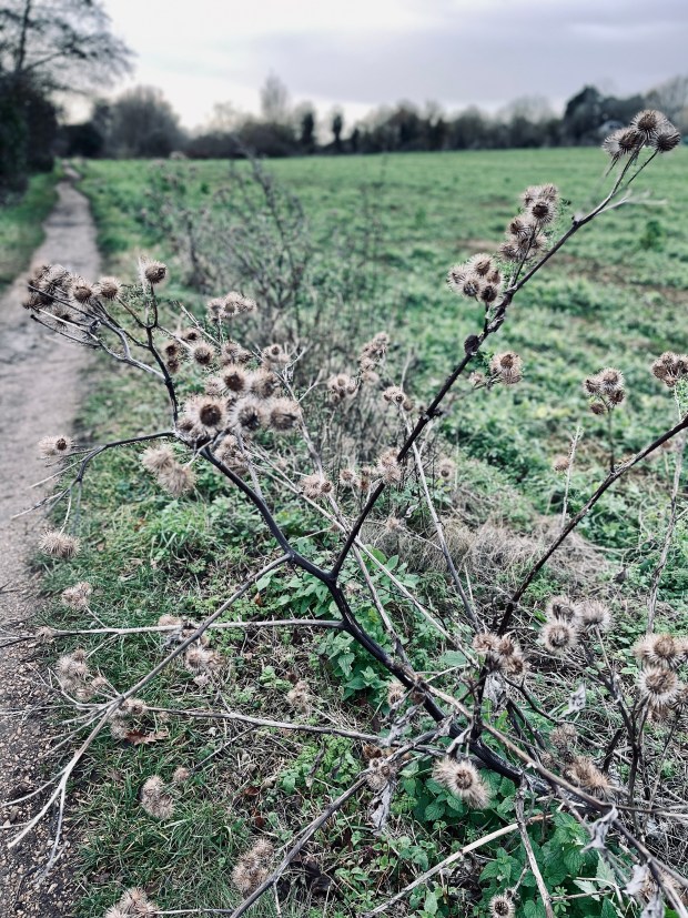
Flowers


Overall, my progress was slow due to taking pictures and chatting with people but I made the most of the beautiful day, and saw much wildlife, both flora and fauna, especially around the lakes, as I crossed the Cotswold Water Park. So many buttercups fields!
It felt quite sad to see so many trees cut down on the Thames side – especially by the fields that are trempled by cows already – there is a slight feeling of destruction and emptiness, in contrast with the lush fields, flowers and diversity in other neighbouring fields.
The paths got busier around the water part and Neigh Bridge Country Park.


It’s been such a contrast to my earlier cold, lonely winter walks!


Cows
If you read my earlier posts, you may remember a near-miss incident with cows in a field… so I had a little stress when I saw these cows waiting at the end of a field… so I took to the left side to follow the field away from them.


Then a family arrived, from the opposite direction, and opened the gates. ALL the cows started to run and charge towards me! I was petrified. But I stayed as calm as possible.
The family looked at me but none of them asked how I was. They just stared! I can’t describe how brainless one would be to do what they did. The other issue was that the farmer who had their cows in one field will have to find their cows. I was ok but I wasn’t happy.


Getting to the Source
I carried on until Ewen; there the Thames stared to get drier. I had my sandwich on a seat with a ‘Millenium seat’ plate on.


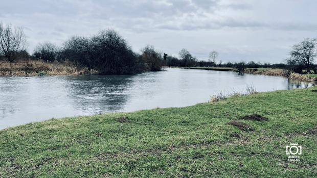
It was quite a sight to see the Thames’ bed empty after Ewen. Quite sad in fact. But I guess it’s the time of the year where this area is dry?
Here’s a shot from ‘within’ the Thames river bed, upstream and downstream.


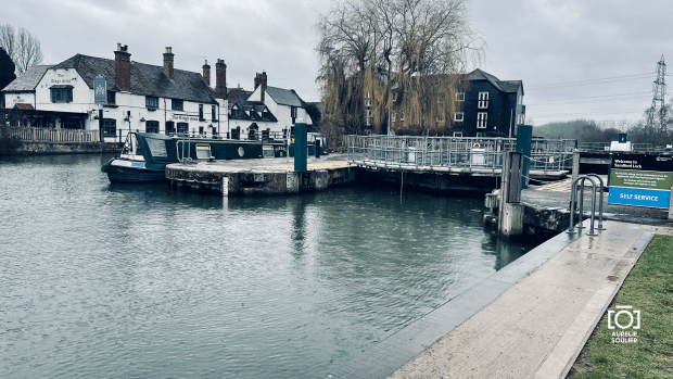
Then it was a few more miles until I finally reached the Source. It is marked by a stone and a signpost. I chatted with a few more people there.


Then I made my way, across the trainline, to the local pub: the Thames Head Inn, to celebrate the end of the walk.


I am just having a glass of Champagne this evening, while writing this post to celebrate, too.
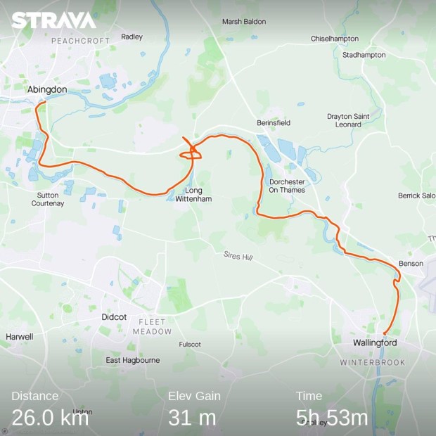
22km in about 6hours.

It took me a little longer than hoped due to detours, but, I DID IT! I completed the walk: the whole of the Thames Path from Barrier to Source.
STATS: I walked a total of 204 miles (326 km) and spent £830 in travel and accommodation costs in total over the 14 sections. I have a spreadsheet with all the details if anyone is interested.
Planning a mad 3-day walk in a fortnight, again… watch this space 🙂