I registered a while back for the Arc of Attrition running event in January 2026. It’s a running event on the South West Coast Path in Cornwall, with different distances: 100 miles, 50 miles, and 25 miles. For 2026, they’ve created a shorter version, ARC12, which is 12 miles (nearly 20km).
I had a free weekend this weekend, so I decided to get my tent in the car and booked the campsite on Thursday for Saturday and Sunday. The campsite will also be the event finish line in January.
The aim was to recce the route and prepare mentally. I was originally going to hike it, but decided instead to try running it to see if I could complete it within the 4-hour cut-off time. Whether I managed it or not, it would be a valuable recce: a chance to learn what to do, what to expect, and where the challenges are.
I did it in just under 3h40…


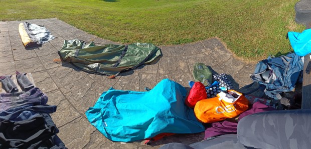
After a long drive to Cornwall (accidents on the roads etc) and late Friday arrival at an eco campsite in Porthtowan (called Mount Pleasant Eco Park), I pitched my tent in the dark and sat back to watch the stars. It was a peaceful start to what turned out to be a spectacular impromptu weekend.


Saturday morning, I weighed up whether to make the trek to a parkrun (very tempting – I dislike missing out on a parkrun tourism opportunity) , but public transport options were awkward and slow, so I opted out.
Instead, I caught two buses (the 315 and then the T2) aiming to get to Godrevy. Unfortunately, a lorry blocked the final approach, so the bus driver kindly dropped me… further up the road and I hiked the extra bit to the start of the recce…


As it was nearing noon, I stopped at the Jam Pot café by St Gothian Sands for tea and eggs on toast. Absolutely lovely. Worth noting: no toilets at the café, and the ones near the beach and lifeguard hut had no running water to flush or wash. Not ideal.
I hiked on to the other side of the “Red River” before reaching the start of the run.


From the National Trust car park at Godrevy, I set off on my run (or fast-hike if you think running needs to be a certain pace) along the South West Coast Path just after 12.30pm.
Well fuelled and hydrated, I set a good pace early on. The first 4km felt really great, though I had a niggle at the back of my right ankle that I had pre-taped. My cap wasn’t surviving the breeze either, but the sea air was so refreshing it made up for it. I was having fun!


The terrain was kind and the views absolutely stunning. I took frequent photo and video breaks because it was just too beautiful not to capture. I was ahead of my target pace, knowing the back half had more hills, so I pushed a little early on. I passed the 9km mark around Portreath about 25 minutes ahead of my splits.
Then came kilometre 9 to 10… an utter joke. I possibly took the wrong path down into the Carvannel Downs area, but even the correct trail would have been steep, rutted, and not remotely runnable. It’ll be very tricky in winter. Noted for ARC12: this will be a walking section.


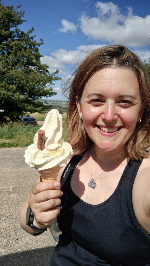
Energy dipped badly just before Portreath when I realised I’d forgotten to eat. Took a gel at that point (10k in) & another at 15k to carry me through.
By 15km I was flagging. The temperature was still in the high 20s, and the steps were brutal – far too tall for comfortable climbing. I’m short ….My legs just don’t stretch that far! The pace dropped and I basically crawled, but I saw the payoff of all those gym sessions: split squats, step-ups, posterior chain work. I kept moving.
Now I’m back at the campsite with my birthday book (finally cracking it open!) and tomorrow I’m off to Newquay to meet a friend for a swim and brunch.
At 17km I passed Sally’s Bottom (always a snigger! ) and pushed towards Porthtowan. The steps were still challenging but I got through them.
Took a break, turned my phone data on (checking social media), and then carried on. The path beyond was full of loose stones – hard on the feet, no flow. I walked, jogged, walked again. No rhythm. I wasn’t having as much fun at that point. But I knew I wasn’t far.
Still, I was about 20 minutes ahead of my estimate finish time on the Garmin. With 2.5km left, I allowed myself to walk the last hills and still aimed to come in under four hours.


Total distance: 19.79km, with 516m of elevation gain. Not a fast run, but a solid effort in the heat, and brilliant ARC12 recce.

Fuelling breakdown: Before the run I had tea (~500 ml) and eggs on toast, totalling around 336 kcal and 31 g of carbs. During the run, I drank about 1.5 litres of water and 500 ml of Tailwind, which added another 200 kcal and 50 g of carbs. I had three energy gels throughout the effort (288 kcal, 69 g carbs). After the run, I refuelled with a Quaker porridge-to-go bar (139 kcal, 21 g carbs). All in, during the run I consumed approximately 819 kcal and 152 g of carbohydrates, and drank about 2 litres of fluids. I’m happy with that fuelling effort for a 3.5-hour coastal run in summer heat.
A fab spontaneous weekend and a great reminder of how glorious the Cornish coast can be (if I needed one). This route is not just for running: it’s a beautiful walk, too, and I highly recommend it for anyone up for a bit of a challenge and a lot of views.